Your cart is empty
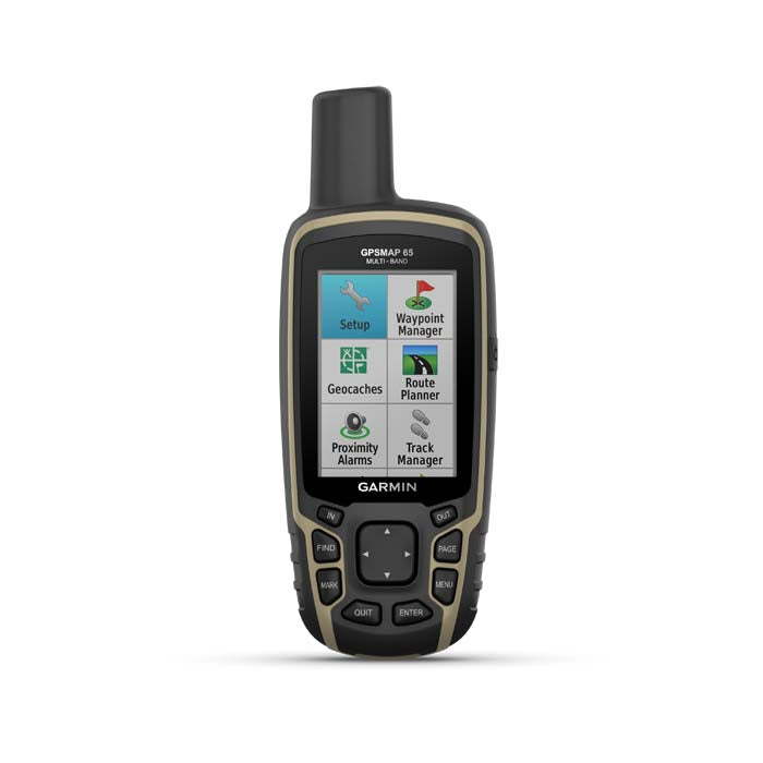
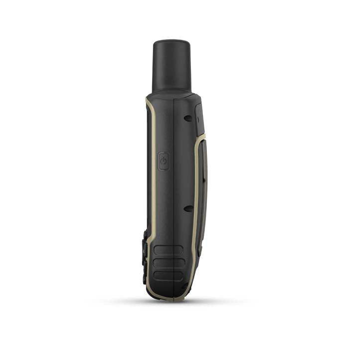
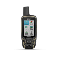
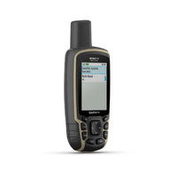
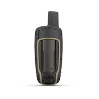
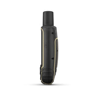
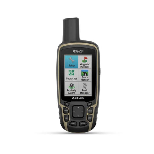
Garmin GPSMAP 65
Garmin GPSMAP 65 range is the latest GPS handheld range from Garmin and the first to offer multi-band technology from GPS, GLONASS, Galileo, QZSS and IRNSS. With these technologies integrated the GPSMAP 65 offers improved accuracy, particularly in hard to reach areas such as canyons, dense forests and steep mountains.
The Garmin GPSMAP 65 range is the first to receive and use multiple satellite navigation frequencies. Combined with a battery life of up to 16 hours in GPS mode the GPSMAP 65 range is a companion worth having out on the trail.
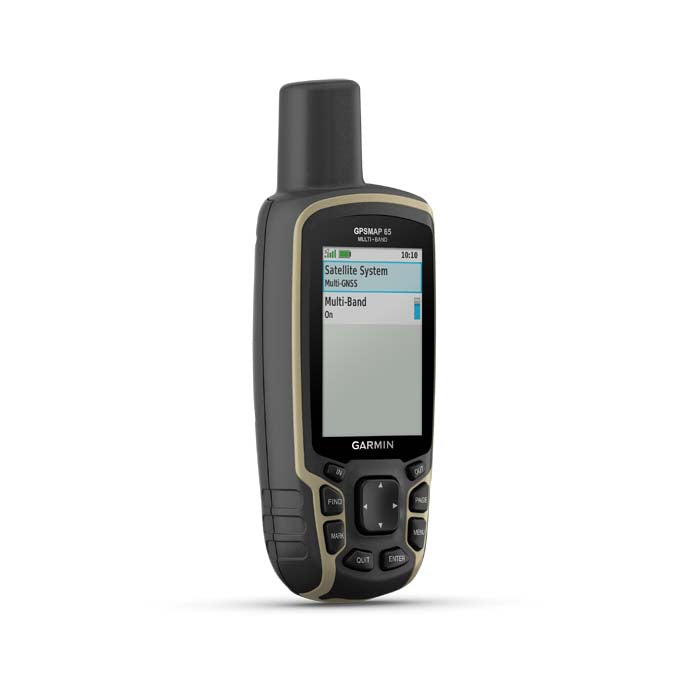
Multi-band Technology
The GPSMAP 65 range receives and uses information from the GPS, GLONASS, Galileo, QZSS and IRNSS satellite systems resulting in increased accuracy no matter what kind of rugged environment you are in.
Preloaded TopoActive Europe Maps
TopoActive Europe maps are provided offering detailed views of street and off-road networks, waterways, natural features, and land use areas.
Smart Notifications
Pair the GPSMAP 65 with your smartphone to receive emails, text and alerts on your GPS handheld as they're received.
MicroSD Slot
The MicroSD slot allows you to download alternative maps for use on the device.
Geocaching
Automatic updated from Geocaching Live will be received on the GPSMAP 65 including descriptions, logs and hints.
Garmin Explore App
Download the free Garmin Explore app or use the website to plan your routes before you set off. You can set up waypoints, routes and tracks to sync with the GPSMAP 65.
Garmin GPSMAP 65 Package Includes
- GPSMAP 65 GPS Handheld
- USB Cable
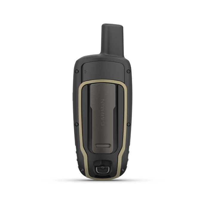
- Carabiner Clip
- Documentation
Resources & Downloads

