
Your cart is empty

EVERYWHERE Communications Knowledge Hub
A practical support hub for the EVERYWHERE platform, its software modules, and compatible Garmin satellite devices, built for teams that need clearer oversight, stronger duty of care, and better field coordination.
What is EVERYWHERE?
EVERYWHERE is a software-led communications and visibility platform that helps organisations stay connected and accountable across mixed coverage environments. It brings secure messaging, alerting, mapping, check-ins, and team monitoring into a single operational workflow, and can extend beyond terrestrial networks when paired with compatible Garmin inReach devices.
EVERYWHERE is a software-led communications and visibility platform that helps organisations stay connected and accountable across mixed coverage environments. It brings secure messaging, alerting, mapping, check-ins, and team monitoring into a single operational workflow, and can extend beyond terrestrial networks when paired with compatible Garmin inReach devices.
Connected workflows that travel with the team
Support communication and coordination across cellular, Wi-Fi, and satellite routes, so operations stay aligned as coverage changes.
Duty of care, check-ins, and escalation
Create structured check-ins and alerting processes that improve accountability without adding constant admin overhead.
Mapping and live visibility for coordinators
Use mapping and location awareness to support better decision-making, faster responses, and clearer oversight of distributed teams.
EVERYWHERE-Compatible Devices





EVERYWHERE Hub
A central view for teams, devices, and check-ins
The Hub supports day-to-day coordination, from monitoring team locations to reviewing check-ins and responding to alerts. It is designed to help supervisors and coordinators manage deployments across multiple sites with clearer operational visibility.
- Team oversight: monitor status, activity, and key updates in one place.
- Check-in management: support scheduled and self check-ins and reduce missed reporting.
- Location-aware workflows: use areas and safety zones to reduce unnecessary noise.

Mobile App
Secure messaging, alerts, mapping, and team monitoring
The iOS and Android app supports secure communications and location-aware workflows for field use. When paired with compatible Garmin inReach devices, it can help maintain continuity as teams move beyond cellular coverage and back again.
- Messaging and alerting: keep critical updates flowing between field staff and coordinators.
- Mapping tools: support coordination with live locations and shared pins.
- Field reporting: support richer, location-tagged updates where required by workflows.

Mission Connect
Bring more stakeholders into the loop
Mission Connect helps field communications reach wider support chains when required, improving the flow of updates to stakeholders and enabling faster coordination beyond the core user group.
- Operational reach: extend communications to wider contacts when needed.
- Faster routing: reduce delays when updates need to reach support roles quickly.
- Clear process: standardise how updates move through teams.

ATAK Plugin
Support mapping workflows where ATAK is already in use
For teams that use ATAK as their operational map interface, the EVERYWHERE ATAK Plugin is designed to bring compatible workflows closer to that environment, helping reduce friction for specialist users.
- Familiar interface: support teams inside established mapping tools.
- Operational consistency: align field visibility with existing processes.
- Deployment fit: useful when ATAK is part of standard practice.

Frequently Asked Questions
EVERYWHERE Communications provides a secure software platform for organisations that need to monitor, communicate with, and protect remote teams. The platform combines Garmin satellite communicators, the EVERYWHERE Hub, and the EVERYWHERE Mobile App to deliver real-time location visibility, messaging, alerts, SOS, check-ins, and operational intelligence across satellite, cellular, and Wi-Fi networks.
The platform is designed for organisations with people, assets, or operations in remote, hazardous, or infrastructure-limited environments. This includes government, defence, utilities, energy, forestry, conservation, humanitarian aid, media, executive security, and other enterprise teams that need reliable communications and duty-of-care tools beyond normal mobile coverage.
EVERYWHERE helps lone workers stay visible and connected through live location tracking, scheduled and self check-ins, SOS alerts, safety zones, geofences, and centralised monitoring through the Hub. Managers can see worker status, receive alerts, and coordinate a response when someone misses a check-in or triggers an emergency alert.
The EVERYWHERE Hub is the command centre of the platform. It gives organisations a central view of communications, alerts, check-ins, map layers, location data, and team activity, helping managers monitor personnel and assets in real time from one secure interface.
The EVERYWHERE Mobile App gives field teams access to secure messaging, alert notifications, global SOS, live location information, advanced mapping, check-ins, geotagged media, pins, geofences, saved map regions, and team monitoring from iOS and Android devices. When paired with compatible Garmin inReach devices, it can also support satellite communications when cellular and Wi-Fi are unavailable.
Yes. EVERYWHERE is designed for multi-network communication across cellular, Wi-Fi, and satellite. When used with compatible Garmin inReach satellite communicators, the platform can help teams stay connected beyond terrestrial network coverage using the Iridium satellite network.
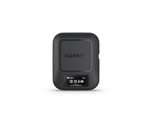
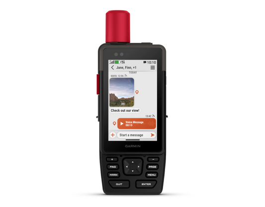
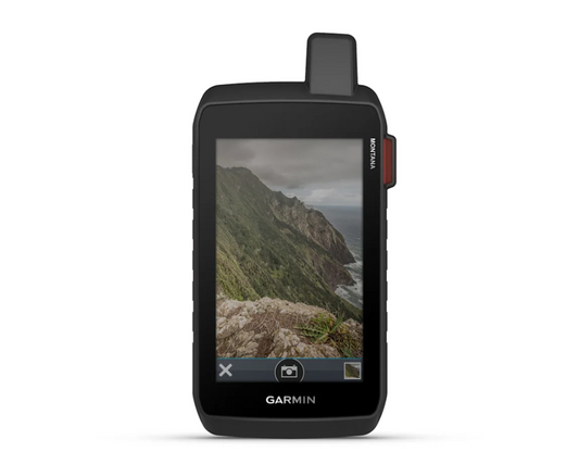
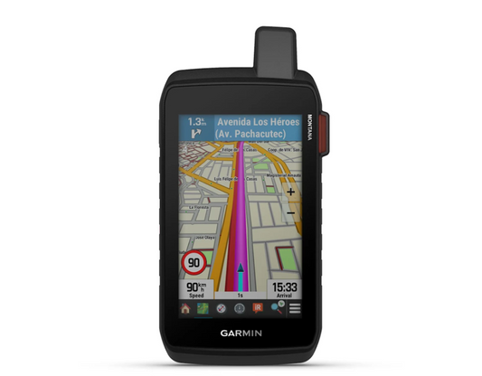
EVERYWHERE works with a range of Garmin satellite communicators, including devices such as Garmin inReach Mini, inReach Messenger, GPSMAP, Montana, and related satellite-enabled products listed across the EVERYWHERE hardware range.
Scheduled check-ins allow organisations to set regular intervals where workers confirm their status. Self check-ins allow users to manually update their location and condition when needed. Together, they help managers confirm worker safety without requiring constant manual contact.
Safety Zones allow organisations to define areas where scheduled check-ins are not required. This helps reduce unnecessary alerts while still maintaining accountability when workers move outside expected areas. Safety Zones can be shaped as circles, rectangles, or polygons, depending on the use case.
Yes. The platform supports Global SOS functionality, enabling users to trigger emergency alerts and communicate during an incident. EVERYWHERE states that SOS can be routed to its monitoring centre or to a customer-defined destination, allowing organisations to coordinate response using internal or external resources.
Yes. EVERYWHERE includes live location tracking, advanced mapping, map layers, pins, geofences, heat maps, saved map regions, and integrations with mapping and intelligence tools such as Esri and Factal. This helps organisations understand where their people and assets are, identify risks, and respond more quickly.
Yes. The Hub is designed to support real-time situational awareness and management of both people and assets. This makes it useful for organisations managing remote workers, mobile teams, vehicles, equipment, or field operations spread across large or difficult-to-reach areas.
Yes. EVERYWHERE has dedicated government and Department of Defense sections, and its platform includes tools such as Mission Connect, ATAK Plugin support, satellite communications, secure messaging, and operational awareness features designed for demanding mission environments.
EVERYWHERE supports integrations with tools and platforms including EarthRanger, Factal, goTenna, Esri, WhatsApp notifications, ATAK, Garmin devices, and the EVERYWHERE Mobile App. These integrations help organisations combine communications, mapping, risk intelligence, and field team coordination in one operational environment.
The EVERYWHERE Mobile App is described as a secure and encrypted app. It supports secure messaging, encrypted communications, and team communication features designed for enterprise and government users operating in sensitive or remote environments.